Workers & Resources: Soviet Republic

Workers & Resources: Soviet Republic

Not enough ratings
Tallinn, Estonian SSR (1960)
   
Award
Favorite
Favorited
Unfavorite
File Size
Posted
Updated
499.049 MB
Mar 15, 2024 @ 4:05pm
Mar 16, 2024 @ 11:09am
2 Change Notes ( view )

Subscribe to download
Tallinn, Estonian SSR (1960)

Description
[ko-fi.com]


Greetings comrades, it's been a while and quite a lot of hours in the editor, but finally here is my 4th realistic map for WR:SR. This time I bring you the gem of the Baltic, the beautiful capital of Estonia, Tallinn.

Since I found references with maps from different eras and could not decide on one, i'm releasing a "standard" version of the city in the early 80s and an "alternative" one based on 1960.

Please note that this is my first map from outside South America and I have never been there, so maybe there could be some mistakes. Any kind of feedback is always welcome.


Historically known as Reval, the city features an incredibly preserved medieval old town dating in part from the 12th and 13th centuries that attracts millions of tourists every year. Located at a meeting point between native, Scandinavian, Slavic and Germanic cultures, the settlement has undergone many political and social changes throughout its history. Therefore, it is possible to distinguish neighborhoods with different architectural and planning styles throughout the city.


While in Toompea Hill and the rest of the old city the medieval and gothic style persists, large rectangular blocks with plots prevail in Swedish-planned areas such as Kristiine. Similar garden communities were founded during the tsarist era such as Kadriorg and Nömme in the south of the city. In our hands we have the possibility to build a new era for the city of Tallinn, that along with Estonia will become a key piece for the success of the Soviet Union and the happiness of the people.


Since the partnership between Estonia and the Soviet people was... 'sealed', the State has declared Estonia a model republic, allowing some economic privileges and boosting industry and improving roads, harbours and airports. We have also improved downtown neighborhoods and public service buildings in the classicist socialist style. In recent years, we have also developed micro-districts of apartment blocks in areas such as Lasnamäe, Mustamäe and Vaike-Oismäe, with a majority Russian population.


The city is pre-built and it should not be difficult to begin developing the central areas and the historic center soon. We have a basic rail and road network that can help mobilize resources and workers where they are needed. To the east in Lasnamäe is a large Air Defense Troops (PVO) base. We must decide whether to maintain this military operation, convert it into a civilian airport or use this land to build housing for the thousands of immigrants from other Soviet republics who wish to come.


Some suggested objectives: (of course you can set your own)

★ Develop all industries available in the game and achieve economic self-sufficiency by 1991.

★ Welcome 250 new western tourists every year, by ferry by Finland or air (250 the first year, 500 the second and so on).

★ Build and expand the city's tram and trolleybus network. Ulemiste airport is in a convenient location in the center of the map and the port areas closer to the borders. Developing these infrastructures could be of great use in the future.

★ We are an integral part of the Soviet Union but we have some economic royalties. Still, imports and exports with the western countries should not exceed 15-20% of the yearly total.

3 Comments
Assorted Furries Apr 20, 2024 @ 7:30pm 
Getting an error saying 2 workshop items missing, and most of the city is loading with unbuilt roads and only a few structures. Uncertain if this is intentional.
c1MKEvBZ  [author] Mar 16, 2024 @ 5:04pm 
References:

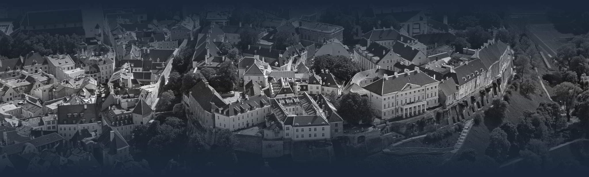
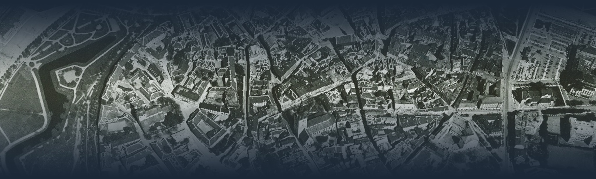
1991 base map from Catalunya Cartographic and Institute (cartotecadigital.icgc.cat)
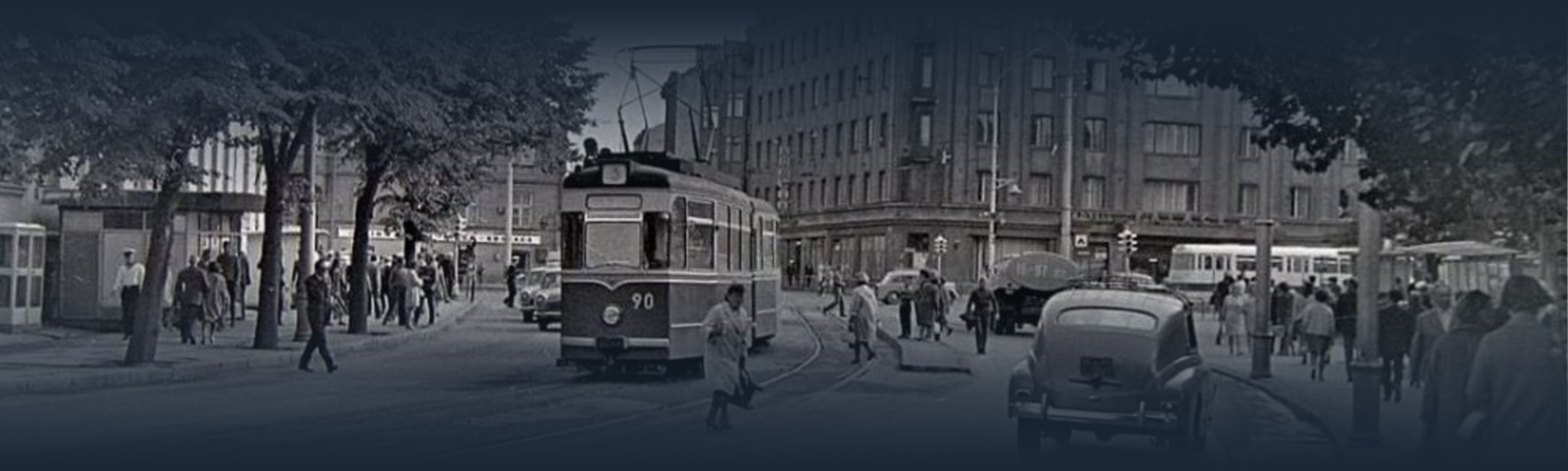
1976 maps from redatlasbook.com/cityplansrow
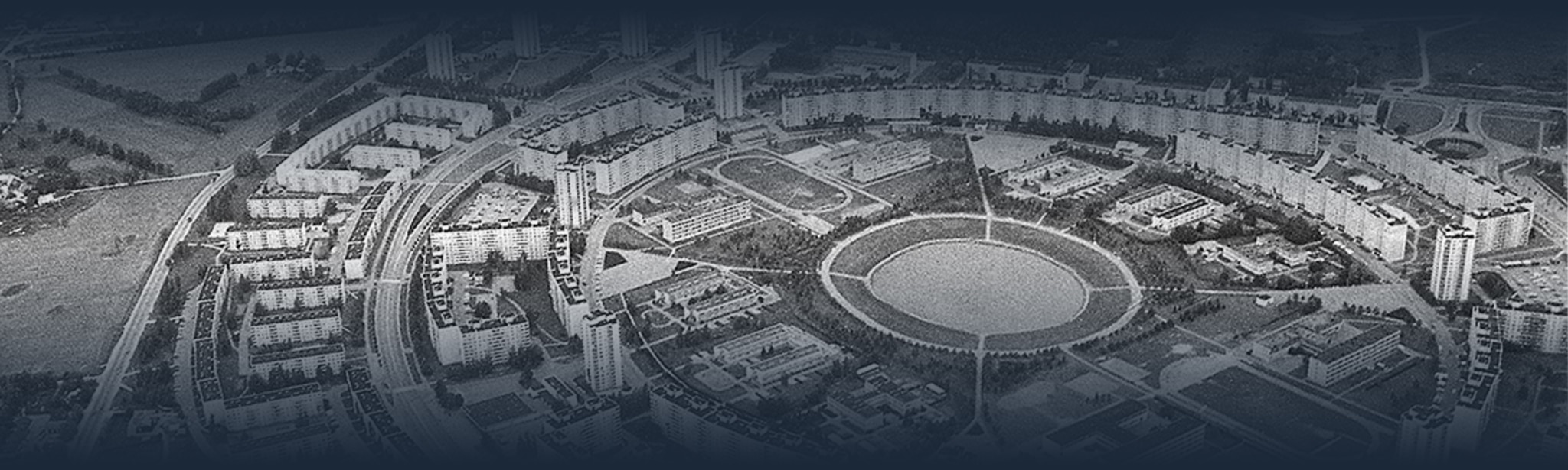
1960~ maps from maps.vlasenko.net

The names of the neighborhoods have been placed to resemble the real ones as much as possible. I took these neighborhood boundaries from a map on regio.ee and the Kesklinna page on Vikipedia in the Estonian language.

Active tram and trolleybus lines taken from transport.tallinn.ee

Historical and urban planning references, I don't remember all of them, but some: a book of urban planning in Tallinn by Vaike Haas, maps of the historic center by Olari Kärmas, monuments on estonianarchitecture.com , other references on sites like militarist.ee, esm.ee , many things from Vikipedia, Atlas Obscura, Wikimapia, Google Earth, etc.
Terge Mar 16, 2024 @ 12:47am 
10/10