Workers & Resources: Soviet Republic

Workers & Resources: Soviet Republic

46 évaluations
How to make and import heightmap
De LovelyPL
Quickstart with heightmap for "Soviet Republic" game
3
   
Récompenser
Ajouter aux favoris
Favoris
Retirer des favoris
What you need
First of all - idea :)

And some software to convert your glorious heightmap to format recognized by "Soviet republic"

Update: Since version 0.7.9.8 Map Editor allow to import greyscaled PNG file :) so part about converting image to DDS format is obsolete :)


I recommend two free tools:

- GIMP + DDS plug-in
- Paint.net + DDS2 plug-in

User @Lac_M (thanks!) recommends Nvidia tool for dds textures:

https://developer.nvidia.com/legacy-texture-tools

How to generate heightmap?
You can make heightmap from scratch, or you can generate heightmap based on real terrains.

I prefer two sites:
http://terrain.party/ or
https://tangrams.github.io/heightmapper/

Both sites are easy to use. You need to export image from this site in any format (jpg/png).


In this tutorial I choose part of San Francisco Bay :)

When you export image from these sites, in graphics editor you have to prepare this file for Soviet Republic World Editor.


Working with graphics editor
World Editor use 2048*2048 pixels heightmap, so you need to resize your file to these dimensions. Then change image mode to greyscale.

And remember:

Darker = lower terrain
Brighter = higher terrain

When you finish your heightmap, you have to do one, little thing before you export file.
You have to make 2 pixels width, black border. Without this border you can see some visual glitches on map borders in game.

Now you can export .dds file. Format of .dds file:

R32F, no MIPmaps (you can try to export in BC1/DXT1 format of similar but users report that sometimes it makes problems while editing)
How to convert .png to .dds R32F using Nvidia Texture Tools?
After installing tools, in command line (cmd) run command:

nvdtx -quality_highest -file <path_to_png_file> -fp32 -outdir <path_to_output_dir>

For example:

nvdxt -quality_highset -file e:\maps\mymap.png -fp32 -outdir e:\maps\

It generate R32F DDS file mymap.dds in e:\maps\ folder
Working with World Editor
Now you can import prepared DDS in World Editor.

But…. What is this? Terrain looks like from “Minecraft” :)


It’s typical - don’t worry. After importing, use terrain smoothing tool to improve quality of your heightmap.


Optionally you can scale and offset your terrain.

Be creative :)
34 commentaires
Fueyes 4 oct. 2024 à 11h11 
When I import it into the game everything is water.
T600_Mod 5 sept. 2024 à 16h42 
And this for Mirroring your Image (if features are on the wrong side of the map)

https://www.img2go.com/result#j=d9e3c7df-86f4-45c3-98e2-58b3502c85e9
T600_Mod 5 sept. 2024 à 16h38 
three websites i found useful for converting images to be ready for Map making In grey scale .
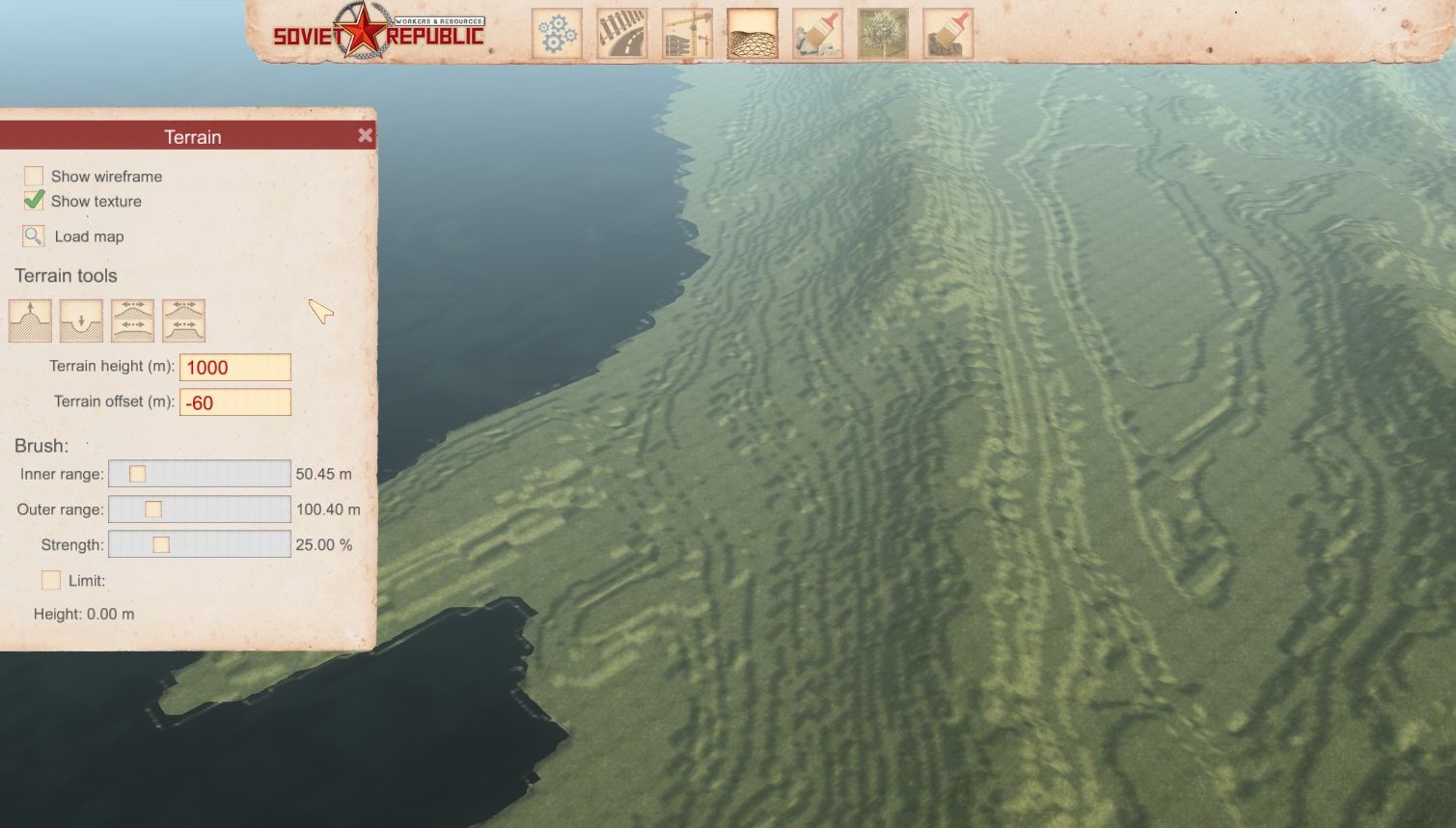
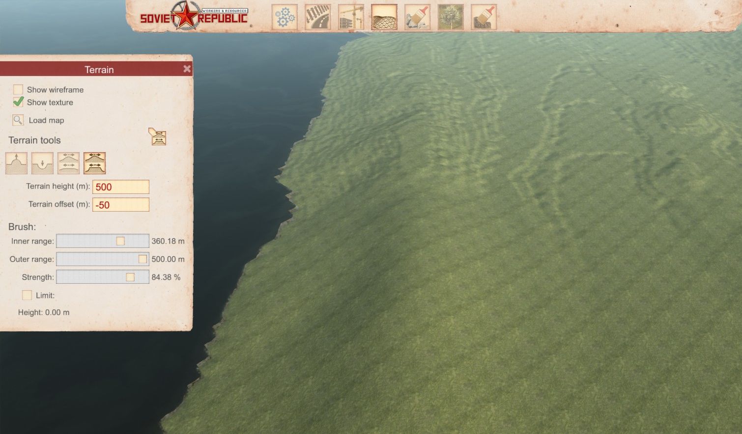
First Square the map. and blur if you want.
https://squareanimage.com/#:~:text=Transform%20your%20images%20into%20perfect
Greyscale Image Converter
https://www.grayscaleimage.com/
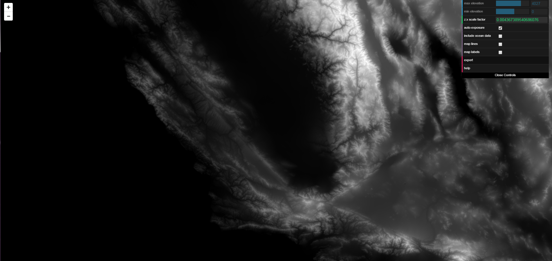
Map/Terrain Image Generator(off Real Data)
https://manticorp.github.io/unrealheightmap/index.html#latitude/9.220049074286408/longitude/-79.75250244140625/zoom/10/outputzoom/13/width/4033/height/4033
PanSer 15 juil. 2024 à 12h36 
а по русски можно, у меня не получается
morcup 9 avr. 2023 à 6h43 
I have noticed that many times, people do not know to save/update their workshop map *after* importing the terrain to the workshop item. This results in the workshop item not containing the terrain files (<1mb file size shown).
Would be a great help for new mapmakers and everyone who subscribes to workshop maps if a small section could be added to the guide explaining this vital step in publishing a map on the workshop.
Ivosh 19 déc. 2022 à 11h30 
How do you deal with rivers? I tried to do black lines according river map, but that makes very steep shore.
IvanM71 21 mai 2022 à 13h03 
Is it possible to edit in a photo editor an already created map? I am trying to edit the heightmap.dds, but I'm getting errors while trying to open it in gimp or online .dds editor
morcup 8 oct. 2021 à 16h50 
Terrain.party has been non-functional for a while now, but I did recently find a similar website that has similar functionality: https://cs.heightmap.skydark.pl/
Lysimachus 29 aout 2020 à 8h42 
hi all - i found a bug[?] perhaps where in GIMP if you export as .dds, and then import heightmap into terrain editor, it will flip the image, so i just correct that in GIMP. thanks for the guide, very useful to get me going! :)
Blue Winged King Fisher 21 juil. 2020 à 18h41 
just so that people are aware Paint.net no longer requires a plug in. read update notes here.

https://forums.nexusmods.com/index.php?/topic/8057638-paintnet-now-supports-all-dds-formats-including-bc7-linear-etc/